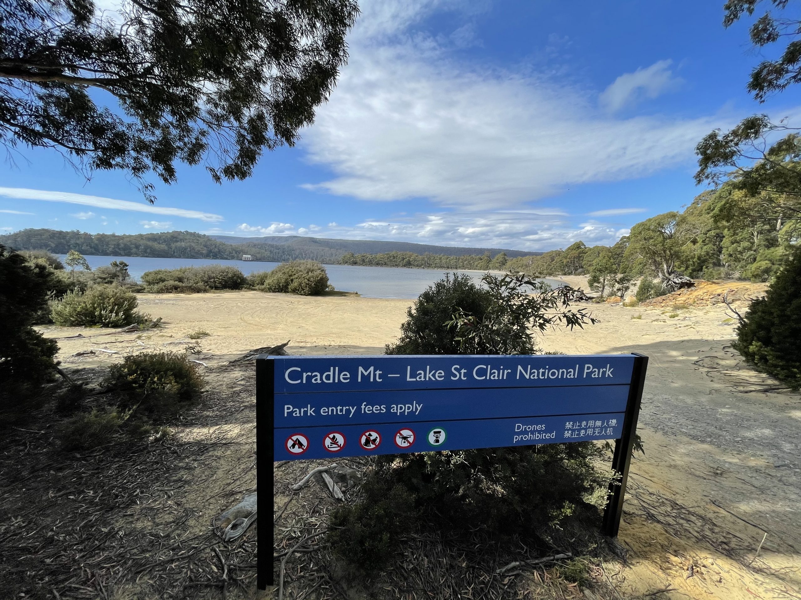
Lake St Clair and The Wall – Tasmania, Australia
Lake St Clair is the deepest freshwater lake in Australia and is part of Tasmanian Wilderness World Heritage Area. The Lake has got an Aboriginal name called leeawuleena, which means ‘sleeping water’. It is the southern end of Cradle Mountain – Lake St Clair National Park and is the last point of Iconic 6 Days Overland Track hike.
It is 2.5 hours west of Hobart via the Lyell Highway (A10) and a similar distance from Launceston.
The Wall located at Derwent Bridge which is on the edge of River and lake St Clair is worth watching for its world class sculptural murals which is 100 meters of Huon Pine timber. These life size murals will tell the history of the harsh Central Highlands region.
More information and bookings https://thewalltasmania.com.au/

The Wall Eagle


Lake St Clair surroundings have several beautiful walks (Short and Long) and the information can be found in visitor information center which has a nice cafe and a lodge.
Lake St Clair Info

The View from Viewing deck of the lake is spectacular surrounded by pine forests, mountains and beautiful blue lake.
The Pumphouse point is also a great photography location, there is one diversion just before visitor information center to get a glimpse of pumphouse.
Lake St Clair passenger ferry mostly for final leg of overland Hike and Lake St Clair scenic cruise operates from Lake St Clair Lodge. For more information visit Lake St Clair Lodge site https://www.lakestclairlodge.com.au/lake-st-clair-ferry-service/ or https://www.lakestclairpark.com.au/lake-st-clair-ferry/
Lake St clair view Lake St Clair lodge St Clair Jetty St Clair National Park Display Lake St Clair View Lake St Clair Pumphouse Old House St Clair